Parks and Recreation Advisory Board Meeting — Key Takeaways on Asset Management, Open Space Acquisitions, and Park Use Analytics
Our parks and open space systems are living, breathing services. They require maintenance plans, transparent processes for public requests, thoughtful acquisition strategies, and smarter data to guide scarce resources. At the November meeting, the conversation landed squarely on those themes: how we handle service requests, the technology that powers asset management, a new public-facing map for closures and amenities, a method to score park health, emerging analytics to understand real park use, and a proposed acquisition that fills an important open space gap.
Table of Contents
- Agenda and context
- Why asset management matters for parks
- Service requests: reality on the front line
- How Infor helps us plan and justify work
- Public-facing park status map: clarity for users
- Asset condition and the Total Park Health program
- Crowdsourcing and community stewardship
- Pacer AI and measuring real park use
- Bigelow property: a strategic open space acquisition
- Municipal code and conservation easements — a quick primer
- How the board’s recommendation fits into the timeline
- Practical next steps for the public and stakeholders
- What the board asked for from staff
- Board governance and scheduling notes
- Final reflections
- Frequently asked questions
- Resources and next steps
Agenda and context
The board reviewed routine business and then spent most of the night on two substantive items: a presentation about the parks operations asset management system (Infor, formerly Hansen) and a discussion about a potential open space acquisition (the Bigelow parcels). We also heard two members of the public offer comments about conservation easements and interest in serving on the board.
Why asset management matters for parks
Parks are more than playgrounds and turf. Every bench, trash can, light pole, restroom, irrigation valve, shelter, sign, and piece of playground equipment is an asset with a condition, a useful life, and a replacement cost. Without a disciplined asset management program we under- or over-invest, react to failures, and struggle to tell a defensible story about where taxpayer dollars are going.
We use Infor as the underlying asset management and work order system. It centralizes inventory and work history, lets crews log hours and equipment runtime, and helps the city cost out maintenance tasks. That data is increasingly important when the public asks why a restroom is closed, why a field gets mowed less often, or how much it costs to maintain a neighborhood park versus a large regional amenity.
Service requests: reality on the front line
Service requests are the public’s primary channel for reporting park problems: overflowing trash, graffiti, vandalism, irrigation issues, and broken equipment. We get requests in two ways: people submitting the online form and people calling the city’s service line. Both feed into Infor, but they behave differently on the public side and the staff side.
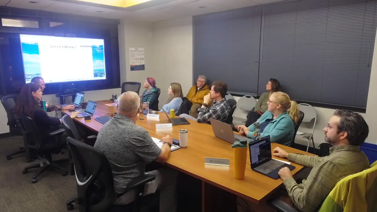
Staff see a different interface than the public. On the street, a technician may be working a routine route and respond to a short task in five minutes. Internally, we can generate a short internal work order and route it to the crew. But the public-facing workflow has a rigid resolution flag: once the request is marked resolved in the system, the requester receives an email indicating closure. That creates a mismatch when a technician makes a quick pass or marks an item processed while the issue persists for the caller.
“We’re going to start using this internal work order. It has been pleaded to address your issue.”
That internal work order wording is well-intentioned but confusing to residents who expect a clear, two-way feedback loop. We discussed three practical problems:
- When callers don’t include an email, staff cannot provide ongoing updates. Tickets can come in as anonymous, and that eliminates the easy email-response path.
- The system’s “resolve” action is binary and permanent in the public record. If a technician marks an item resolved prematurely, the resident receives an email that says the issue is done when it is not.
- Many tickets are routine, recurring items—trash pickup, routine inspections—that used to generate weekly work orders. We’ve consolidated those to reduce noise, but consolidation changes historical counts and trends, which complicates long-term reporting.
We are looking at vendor options and configuration changes to create a better feedback loop. Ideal functionality would let the staff update progress (for example, status: received, assigned, in progress, awaiting parts, complete) and allow residents to respond if a problem persists without a complicated call-and-search pattern. In the meantime, two practical ways residents can get the clearest follow-up are: submit via the web portal with an email address and include photos where helpful; or, when calling, provide a callback number so staff can follow up directly.
How Infor helps us plan and justify work
Beyond service requests, the lifecycle data in Infor—time spent per task, equipment runtime, crew assignments—lets us calculate reasonable hours needed for maintenance and forecast renewal costs. For example, the system answers questions like: how many hours does it take to maintain X acres of irrigated turf? What is the annual cost of restroom maintenance at park Y? Having those baselines makes budgeting and staffing decisions evidence-based rather than guesswork.
Public-facing park status map: clarity for users
One of the most practical outputs discussed at the meeting is a public-facing GIS map that shows whether a park asset is open or closed. This is a simple but powerful tool for improving the visitor experience. Instead of guessing whether a restroom is available or a playground is partially out of service, residents can check a single map with clear green/red indicators and brief notes (for example, “Restrooms closed for season” or “Zip line awaiting specialized part”).
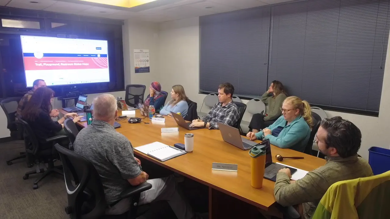
Key features and benefits of the map:
- Real-time updates from staff — the map can be updated instantly to reflect closures and reopenings.
- Granular asset-level information — beyond park open/closed, the map can show the status of shelters, restrooms, athletic fields, skate rinks, dog parks, and playground apparatus.
- Context on closures — adding notes like “closed for seasonal maintenance,” “awaiting parts,” or a projected reopen date helps set expectations.
- Potential to surface reservations — we discussed aspirational ideas to surface reservation info (for example, showing when a shelter or field is reserved) either by linking to the reservation system or integrating reservation data directly into the map for read-only visibility.
One important design detail that will keep the map useful over time is a timestamp showing the last update. That prevents stale data from eroding trust: if a closure note is weeks old, users will know to verify before they travel.
“We can turn things on and off, green and red at will.”
Asset condition and the Total Park Health program
Knowing whether something is broken is just the first step. Total Park Health is an effort to score each asset on a 1–4 scale so we can prioritize renewals and track progress over time. The scale works like this:
- 4 — Excellent
- 3 — Good
- 2 — Fair / needs attention
- 1 — Poor / not usable
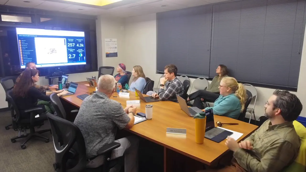
There are about 4,000 park assets to assess. That’s a lot of ground to cover, and the team is taking a pragmatic approach:
- Start with parks that are already slated for renewal so the first snapshot is useful for immediate planning.
- Use a mobile app tied to the GIS so crews can rate assets and upload photos while on site.
- Divide the work: assign parks or categories to staff and break work into manageable chunks (for example, five assets per visit).
- Recognize the effort to assess every light pole, bench, trash can, sign, playground element, and irrigation head takes time and battery power; design the process so it’s sustainable.
Context matters when interpreting the overall score. The current average rating of 2.7 reflects mostly those parks targeted for renewal and therefore biased toward lower scores. Splitting the data by park and asset type will give nuance — the average rating per park will help identify concentrated needs rather than an across-the-board picture that obscures where investments should be targeted.
We also talked about how to use the ratings in budgeting. Each asset has a replacement cost in the GIS. By aggregating asset scores and replacement costs per park, we can estimate renewal budgets in a defensible way: for example, moving a park playground from condition 2 to 3 has an estimated cost; comparing that with moving restrooms from 2 to 4 helps prioritize capital spending.
Crowdsourcing and community stewardship
An idea that came up—and one that is worth exploring—is a structured community stewardship program modeled on citizen science. Rather than ad hoc reports, a trained cohort of “park stewards” or “junior rangers” could help monitor assets, report issues with photos and location, and provide periodic observations that supplement staff assessments.
This approach has several advantages:
- Community ownership increases vigilance and reduces small problems becoming larger ones.
- Trained stewards can collect consistent data that feeds into the asset rating program.
- The program creates opportunities for education and engagement, especially for families who use parks daily.
Of course, any crowdsourced program needs a governance model: onboarding, training, clear boundaries about what volunteers should and should not do, and a system that routes verified observations into the work order pipeline without creating duplicate effort for staff.
Pacer AI and measuring real park use
Counting heads in parks has historically been guesswork. Pacer AI and similar technologies turn anonymized location and movement data into actionable metrics: how many people visited, how long they stayed, where they went afterward, and whether an event brought in local or out-of-town visitors. This is powerful for planning, marketing, and understanding event impacts.
Examples of how this data helps:
- Event planning: Instead of guessing attendance, we can measure actual turnout for parades, festivals, and tournaments and estimate economic impacts (where attendees dined, what they did afterward).
- Resource allocation: If analytics show a park routinely has long visits and heavy use, that park may need more frequent trash pickup or portable restrooms.
- Marketing and economic development: Knowing how many visitors an attraction draws and where they come from supports grant applications and tourism marketing.
Privacy and accuracy are important considerations. Pacer AI uses statistical algorithms and extrapolates from signals; the system will not identify individuals. There are cases when algorithms need tuning — for example, counts for indoor rec center entries were off in initial runs because the extrapolation parameters needed adjustment. Custom calibration with ground truth data is crucial to get reliable numbers.
Bigelow property: a strategic open space acquisition
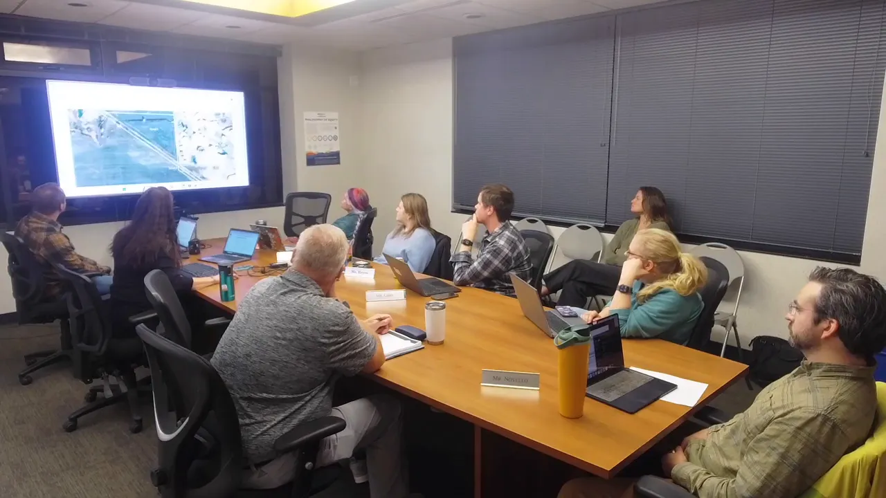
The other major item at the meeting was a staff presentation on the Bigelow parcels — four parcels totaling just under 17 acres that sit between existing city-owned open space lands (Sherwood and distal/Sandstone). The parcels are primarily agricultural and functionally isolated amid adjacent open space. The staff proposal is for the open space fund to purchase the fee simple parcels and work with Boulder County to place a conservation easement on them.
Why this acquisition matters
- Contiguity — Filling this puzzle-piece gap makes the adjacent open space holdings more coherent, easier to manage, and more protective of habitat corridors.
- Conservation values — The parcels contain prime agricultural soils, scenic viewsheds, and wildlife habitat, factors that make conservation easements a logical long-term strategy.
- Perpetuity protections — Encumbering the parcels with a Boulder County easement helps ensure the land remains undeveloped and managed for conservation in perpetuity.
Price and valuation questions
The proposed purchase price is just under $600,000. Board members raised reasonable questions about valuation: How do we know this price is fair? Was an appraisal completed? Who negotiated the price?
Staff explained the negotiation history: initially the utility department had been engaged on the matter and a negotiation occurred with the seller prior to open space stepping in as the buyer. For future acquisitions, the open space team typically orders a formal appraisal or develops a broker opinion based on recent comparable sales. The open space manager stressed that opportunity costs matter — pieces like this rarely get cheaper, and holding out could risk losing the parcel or facing a higher price later.
The board asked for contextual valuation: comparisons to recent open space purchases in the region and clarity on how the county will handle the conservation easement process. Staff committed to providing more comparative information and noted that having the open space fund purchase the property makes it possible to encumber the land contemporaneously, avoiding certain procedural triggers under the city code that would otherwise force a disposition process.
“If open space has this opportunity today and we walk away from it and the family comes back in 2026, it’s very likely that the price would be higher.”
Municipal code and conservation easements — a quick primer
One recurring theme at the meeting was the relationship between fee simple ownership, conservation easements, and the municipal code’s disposition rules.
- When the city already owns a parcel and then seeks to encumber it with an easement, that may trigger the code section on disposition of open space, which can require a public hearing and advisory board input.
- When the city purchases a parcel and concurrently places an easement on the property, the easement is part of the acquisition strategy and typically does not trigger the same disposition process.
- That distinction matters because it affects public transparency steps and the potential for the item to come back to the advisory board for a formal recommendation.
At the meeting, the board recommended support for open space acquiring the Bigelow parcels and working toward a conservation easement with Boulder County. The motion carried unanimously among those present.
How the board’s recommendation fits into the timeline
The staff will take the open space purchase plus the plan for a conservation easement to City Council. Because the parcels are not currently city-owned, the contemporaneous acquisition-and-easement approach is designed to avoid going through the disposition process that applies when encumbering existing city open space land.
Practical next steps for the public and stakeholders
For residents who want to stay engaged or who have park-related concerns, here’s how to do it effectively:
- Use the web portal and include an email address — this yields the most reliable feedback from staff and allows you to track or re-open a ticket if needed.
- Attach photos — a photo speeds diagnosis and prioritization.
- Check the park status map before you go — it saves trips and frustration; look for the last-updated timestamp when you can.
- Consider volunteering — if you want to help, watch for future programs that formalize stewardship or crowdsourced monitoring; those will include a training component to keep data high-quality.
What the board asked for from staff
Board members asked for a few follow-ups that will help with transparency and public communication:
- Provide a valuation context for the Bigelow purchase (recent comparable sales and, if available, an appraisal or broker opinion).
- Add last-updated timestamps to the park status map and consider surfacing reservation data as a read-only feed or link to avoid double entry.
- Continue vendor evaluation for Infor replacement or configuration changes that improve the service request feedback loop.
- Share a phased plan for rolling out the total park health assessments so the public can see progress over time.
Board governance and scheduling notes
The board agreed to cancel the December meeting due to limited agenda items, staff workload at year-end, and member availability. New board members will be welcomed in January, and that meeting will include introductions and a year-in-review planning discussion. The board also noted the importance of aligning its schedule with the city budget timeline so advisory input can meaningfully inform budget choices.
Final reflections
City parks are both a public service and a complex infrastructure network. The items discussed at this meeting reflect a pragmatic modernization path: better digital tools; clearer, public-facing status information; data-driven asset rating and renewal prioritization; and strategic land acquisitions that preserve conservation values.
None of these efforts are quick fixes. They require investment in people, careful vendor selection, straightforward public communication, and a willingness to iterate as data and tools evolve. But the combination of better systems and community input will make parks more reliable, safer, and more enjoyable for everyone.
Frequently asked questions
What is Infor and why does the city use it?
Infor is the asset management and work order system the city uses to track park and forestry assets, record work orders, and document maintenance hours and equipment runtime. It helps quantify time and cost for routine maintenance and capital renewal so decisions can be evidence-based.
Why do service request emails sometimes say an issue is resolved when it is not?
The public-facing resolution flag is binary. If a staff member marks an internal code as resolved (for example, after a technician inspects a site), the system sends an automated email stating the issue is resolved. Staff are evaluating vendor or configuration options to allow progress updates and prevent premature closure notifications.
How can I make sure my service request gets a response?
Submit the request through the web portal and include an email address and a photo if possible. That allows staff to reply directly through the portal’s web channel and attach progress updates or photos when work is completed.
Where can I check whether a restroom or playground is open?
Use the city’s public park status map which shows assets and their open/closed status. Look for the last-updated timestamp to ensure the information is fresh. The map includes restrooms, playgrounds, shelters, athletic fields, and other amenities with notes where appropriate.
What is Total Park Health and how is an asset rated?
Total Park Health is a program to rate individual park assets on a scale from 1 (poor) to 4 (excellent). Staff use a mobile app tied to the GIS to assess condition, take photos, and record ratings. The ratings feed into prioritization and renewal budgeting.
Can community members help with asset assessments?
The idea of a trained stewardship or citizen-science approach is being explored. Such a program would require onboarding and training to ensure consistent data quality. The city will evaluate pilot opportunities where volunteers can supplement staff assessments.
What is Pacer AI and what does it tell us?
Pacer AI is an analytics tool that anonymizes location signals to estimate visitor counts, dwell time, origin, and movement after park visits. It helps measure event attendance, understand park usage patterns, and inform resource allocation. The system requires calibration with ground-truth data to ensure accuracy.
Why is the city considering buying the Bigelow property?
The Bigelow parcels sit between city-owned open space areas and would fill a gap, improving contiguity of protected lands. The plan is to buy the parcels with the open space fund and encumber them with a conservation easement with Boulder County to protect agricultural soils, scenic viewsheds, and wildlife habitat in perpetuity.
How was the purchase price for Bigelow determined?
The parcels were negotiated earlier with another department involved, and the current proposal is just under $600,000. For typical open space acquisitions, staff order an appraisal or develop a broker opinion based on comparable sales as part of due diligence; the board requested more valuation context for this purchase.
Will placing a conservation easement trigger a public hearing under city code?
If the city already owns a parcel and later seeks to encumber it, the city code may require a disposition process with public hearings. When the city buys a parcel and places the easement contemporaneously, it generally does not trigger the same disposition rules. Each case is evaluated individually with legal counsel.
Resources and next steps
Staff will follow up with additional documentation and timelines on:
- Comparable valuations and appraisal details for the Bigelow purchase.
- A timeline for rolling out the park status map to the public and adding last-updated timestamps.
- Vendor evaluations or configuration options to improve service request feedback loops in Infor or successor systems.
- A phased schedule for total park health assessments and how those ratings will translate into renewal budgets.
Bringing data, maps, and community stewardship together gives us the best chance to manage parks proactively and transparently. The board’s unanimous recommendation to support the Bigelow acquisition is an example of aligning conservation goals with practical urban land stewardship. We will continue refining systems and engaging residents to make parks safer, healthier, and more usable for everyone.


